Thursday 8th October 2015
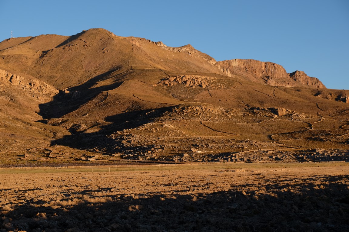
I woke up around 5.30am and went out to take some sunrise photos. Tahua is located North of the Salar de Uyuni and the hotel where we were staying was quite next to it. The little hill nearby at dawn.

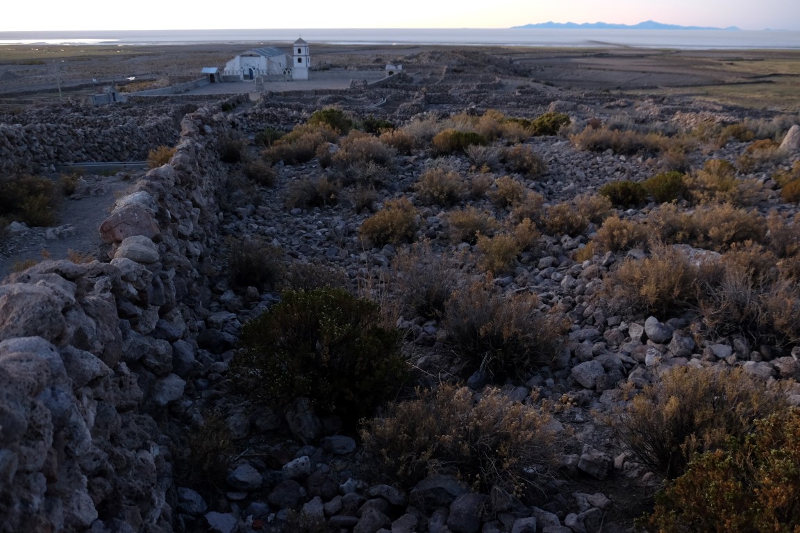
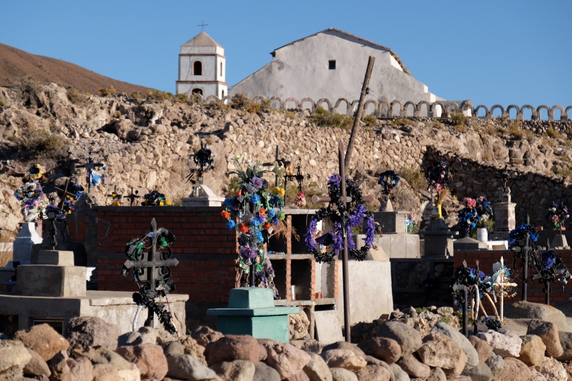
Walking towards the church.
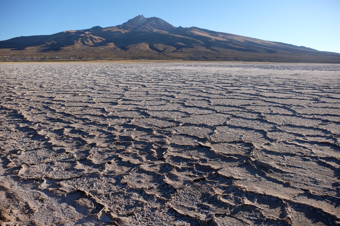
View to the right, the Salar is just starting to wake up. The Salar colour went from greyish to pale blue to purple to pinkish.

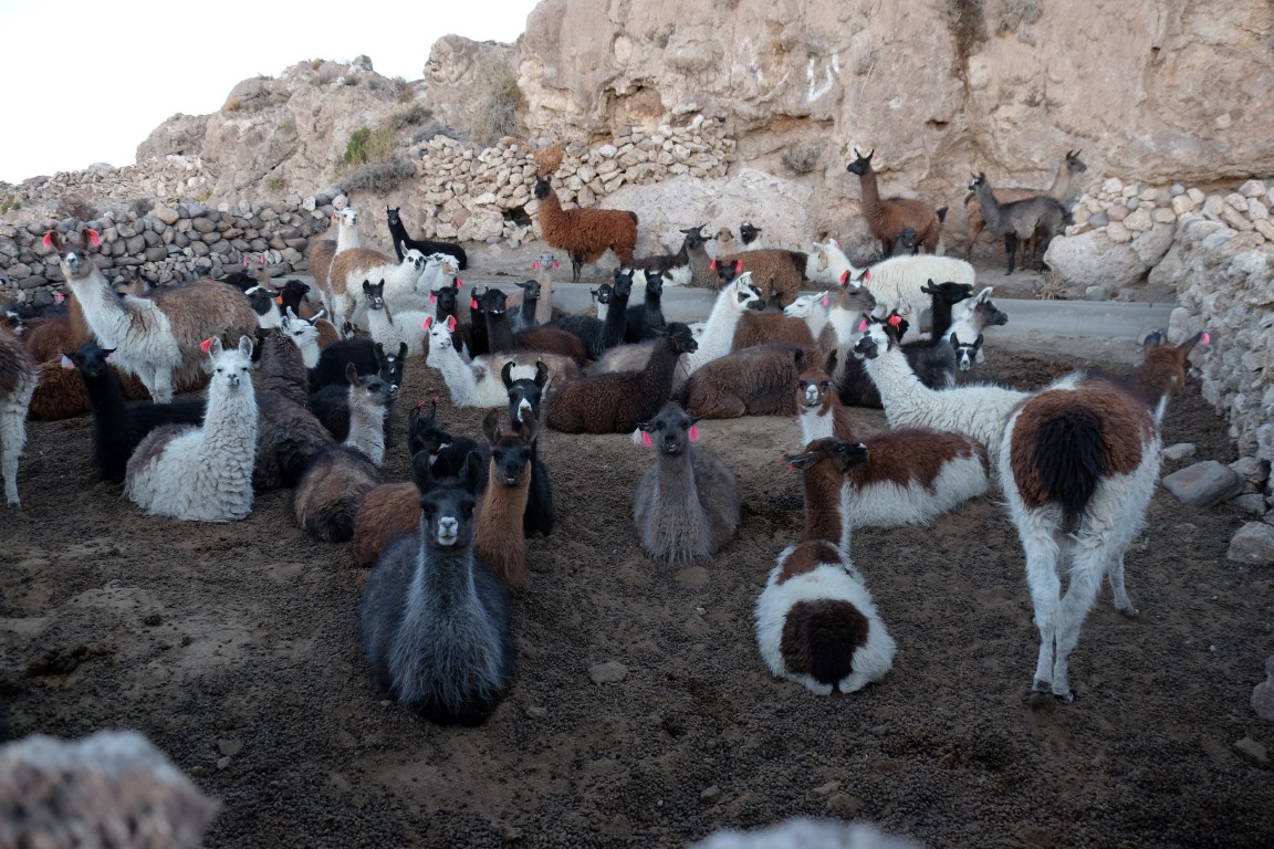
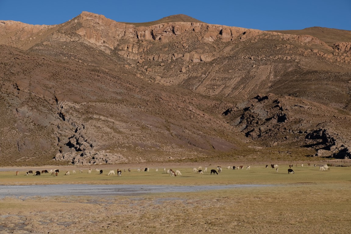
Saw these llamas already woken up, ready to be taken out of their padlock for a grass grazing breakfast.
Here is a little video I took of one of the llama munching on some food. The movement of his jaw going left and right and left and right was really funny to watch. Now, hey guys, this is the FIRST time I put a video in an article. Whoohoo!!! I finally understood the very simple way of doing it, uploading the video to Youtube and then putting the link to my video here. Thanks Patrick for explaining that to me (I know, it looks dead simple, but there is always a first in everything and when you have never done something, sometimes it looks way more complicated than it is!). Let`s just hope the embedding URL works. In case it doesn`t work, click here to be taken to the Youtube link.
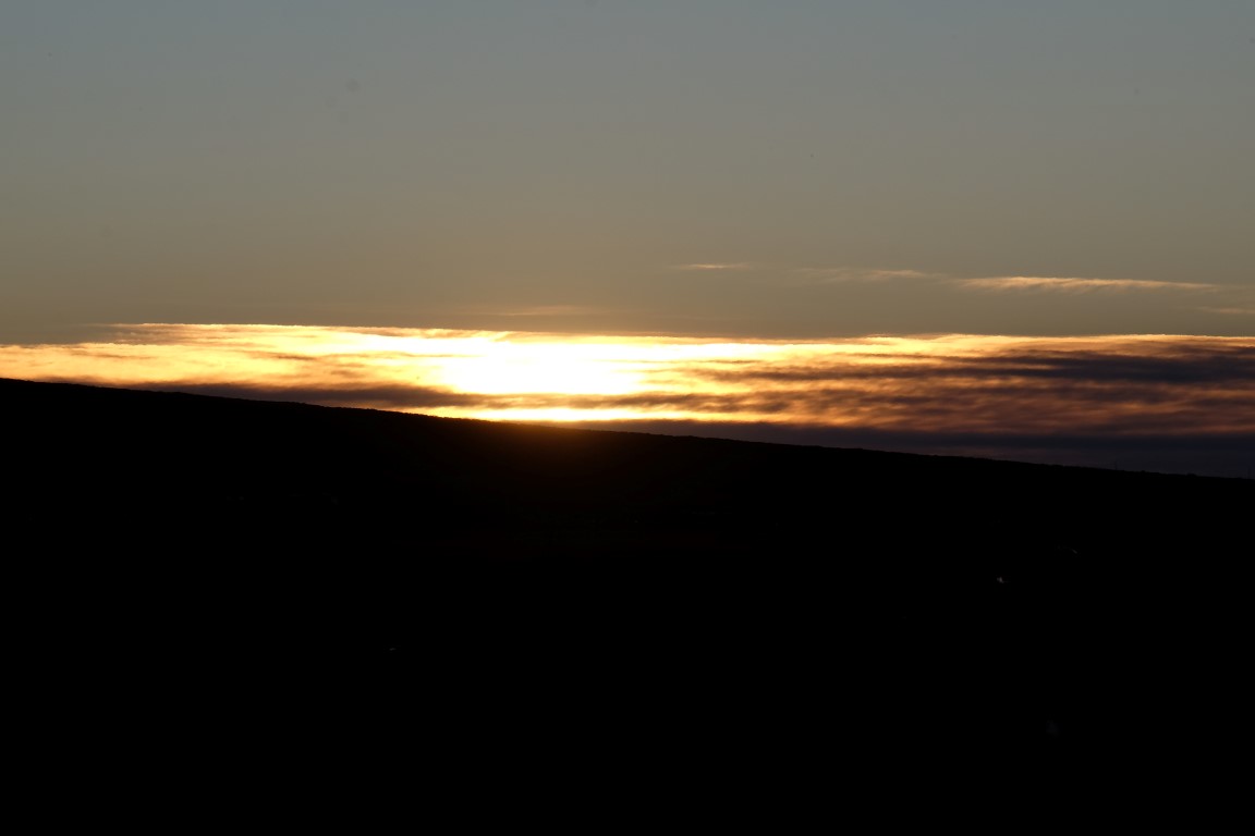
The sun just about to get out, hidden a bit in the clouds.
First rays of the sun making the Salar pinkish.
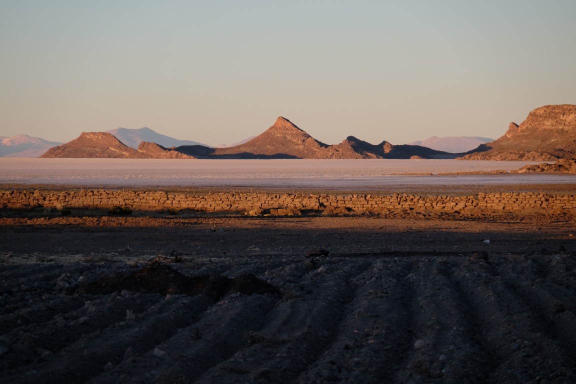
Hill to the right in the morning light.
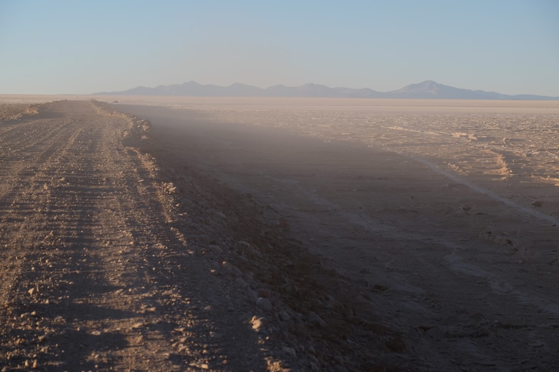
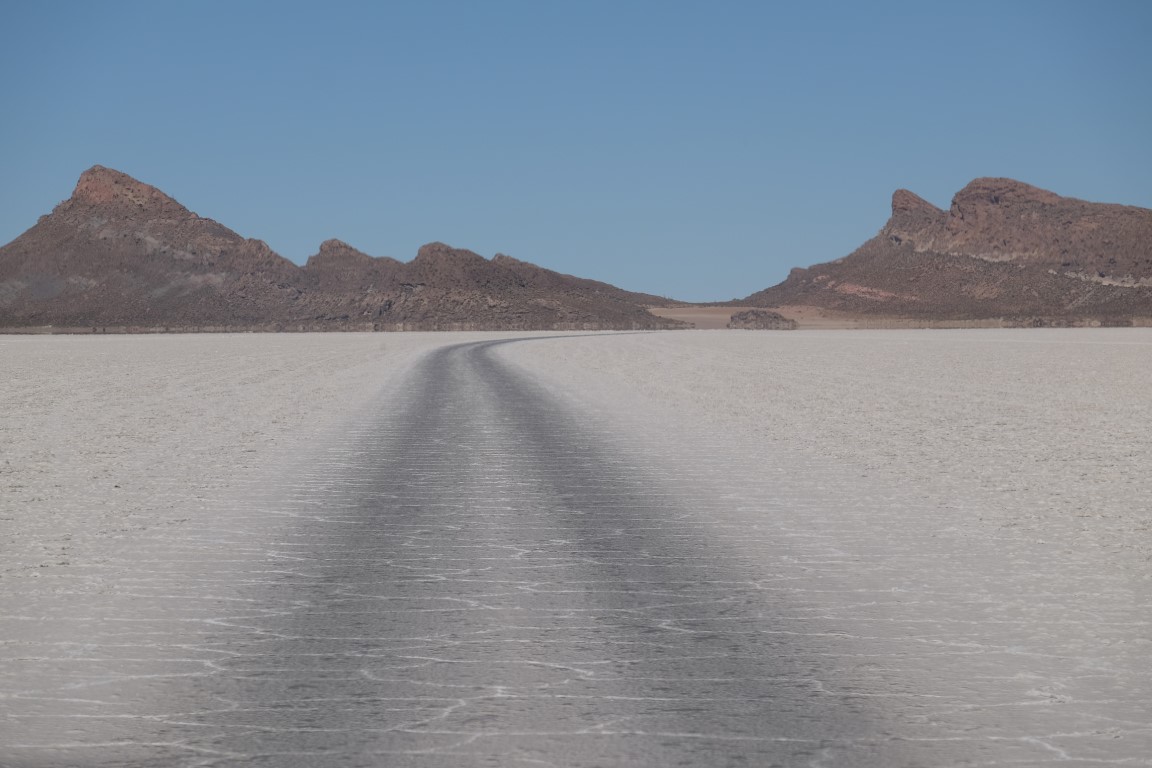
Walking on this road to get to the beginning of the Salar. I realised the distance was bigger than I though, and waking up half-hour earlier could have got me on the Salar to catch the pinkish colour from closer. I was late!!
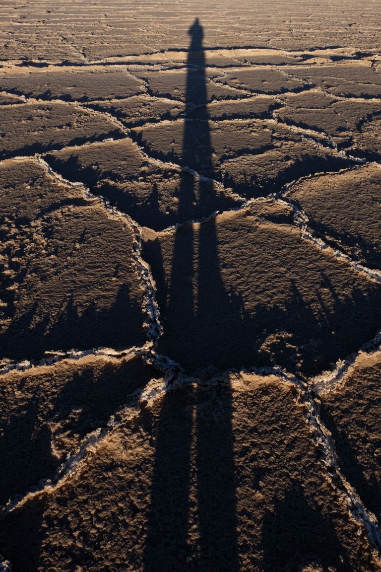
Got there. Long shadow.
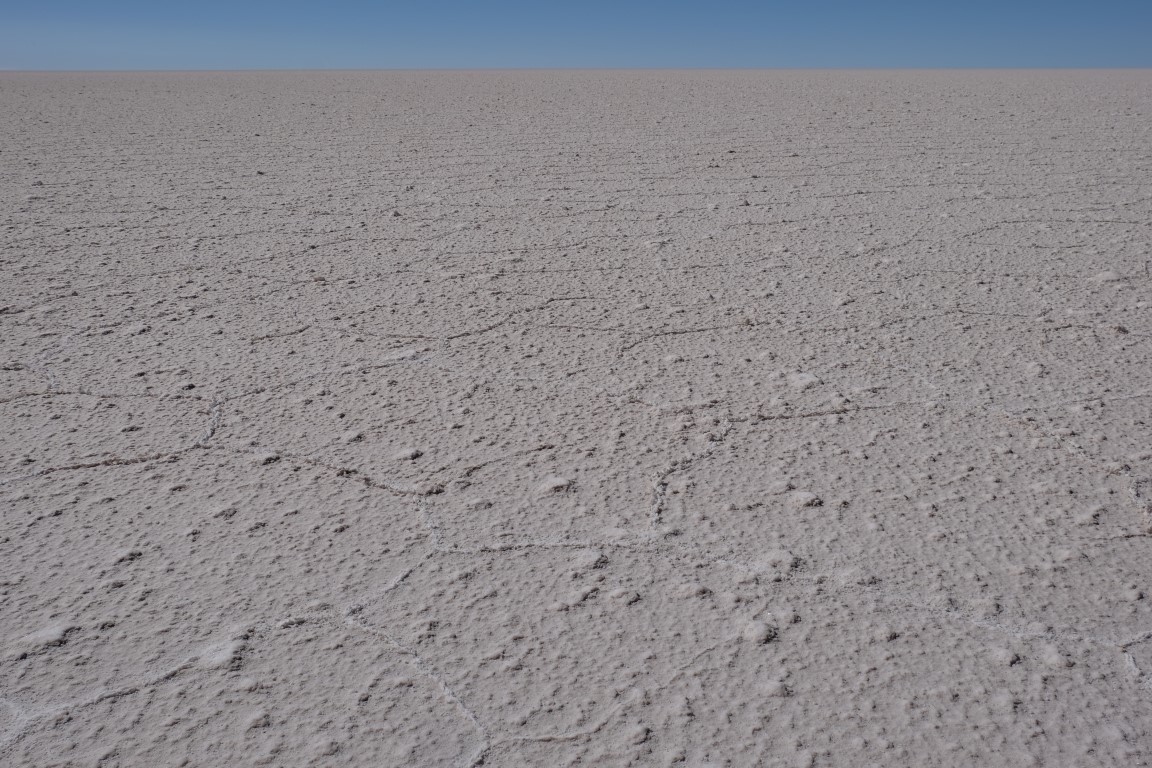
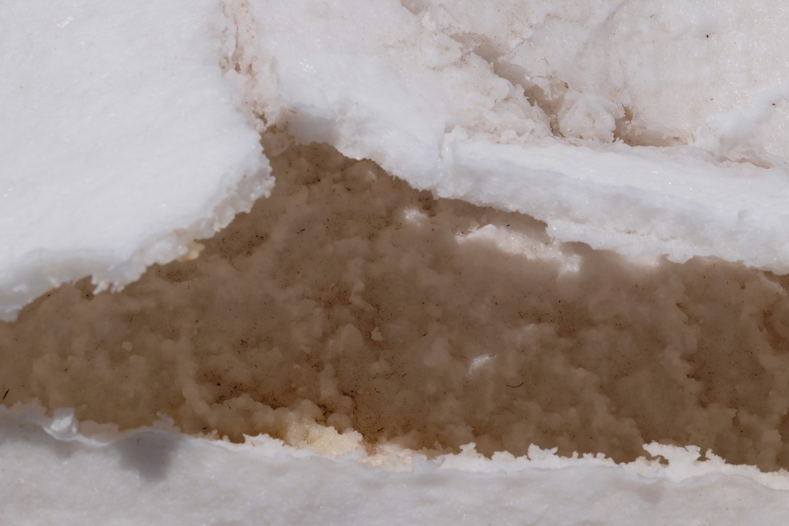
From November to March is the rainy season and the water probably creates those strange formations when receding from the salt.
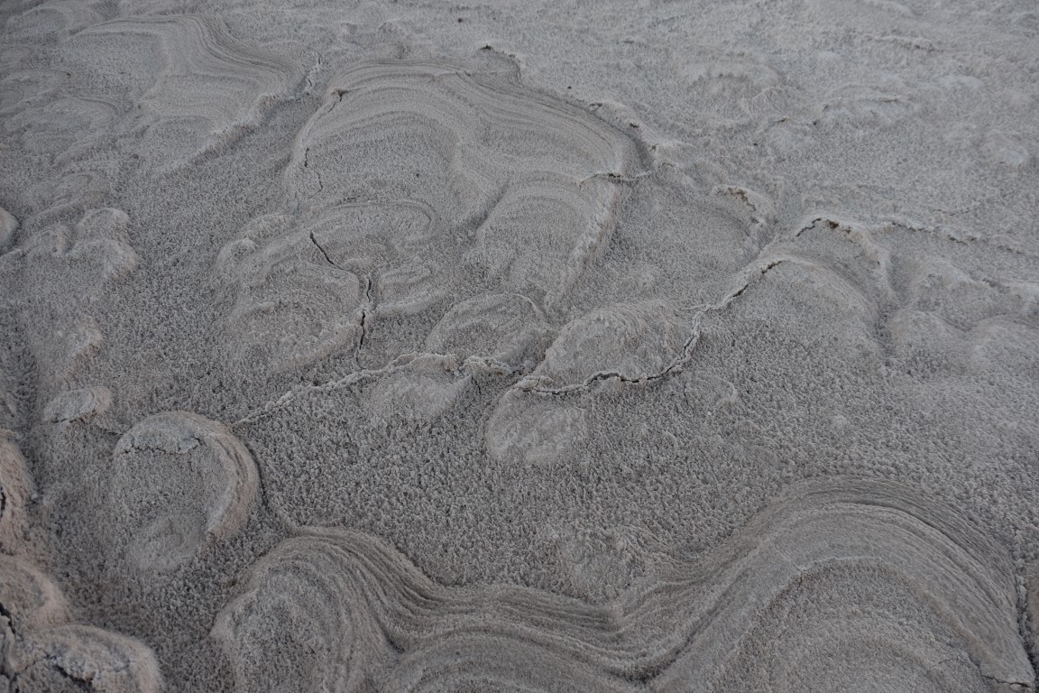
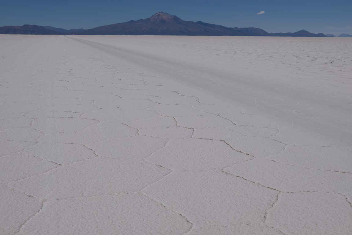
In some areas, the Salar`s surface looks pretty smooth.

Juanitette enjoying the view of the Salar de Uyuni.
Walking back towards the hotel.

View to the right
View to the left. The llamas out of their padlock, having brekky.
Passing the church and its cemetery where all tombs are really well decorated.
Had brekky at the hotel, we packed our bags, and off we went with Antonio in the 4WD on this road around 9am.
Here is a map again to show you where Tahua is and locate our itinerary. Today we were about to go to Isla Incahuasi then to Bahia Mala Mala, so we would cross the Salar de Uyuni from North to South, yeah! Then go to Cueva Galaxia and then head to San Pedro de Quemez where we would sleep.

Now that the sun was a bit more up, the Salar colour had definitely got much more white.
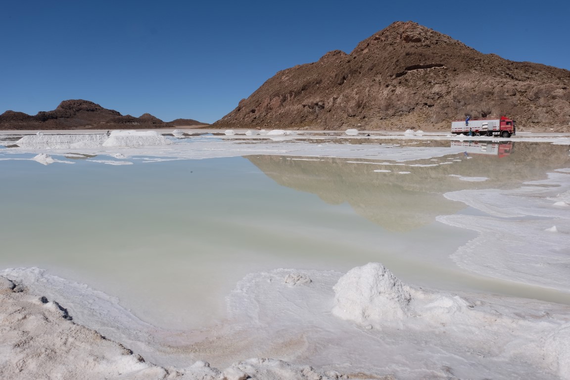
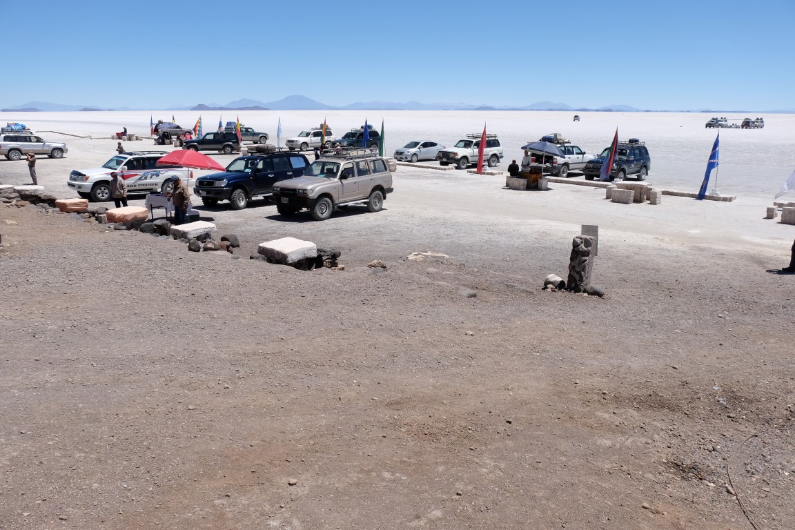
Our first stop was next to Chillquilla, Pucara de Chillima to see the salt collectors at work. Seen from a distance.
There were 5 guys at work filling a truck with salt.
Close-up

In one corner to the left, another guy making a salt pile.
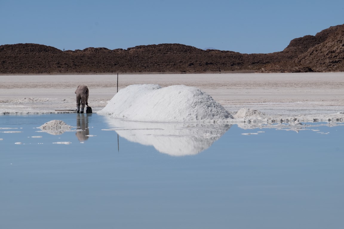
To the right, some resting, some doing the same.
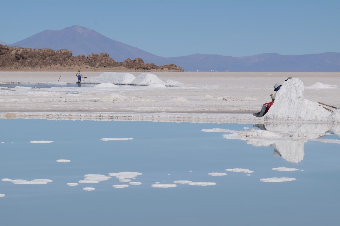
Antonio explained to me that they were living nearby in the local villages and coming here to work for a few days, sometimes sleeping in the hut nearby that we can see on this picture.

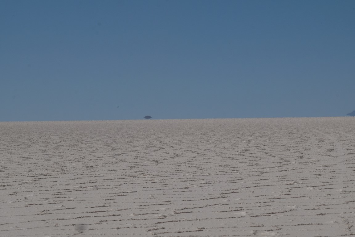
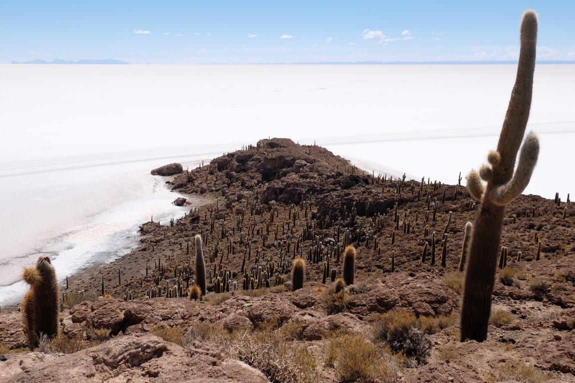
After that, we headed to Incahuasi Island that we can see here, a little dot in the background.
Incahuasi seen from closer.
We got there around 10.30am and there was no one else yet at this time, perfect!
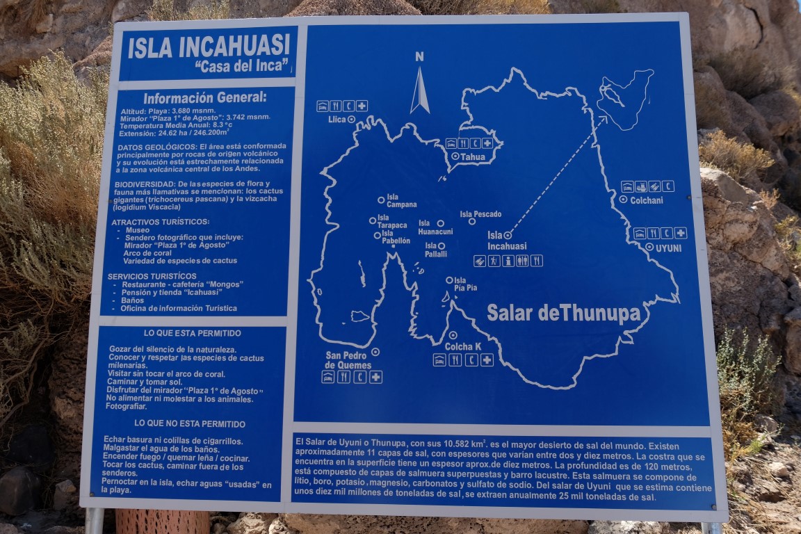
We went for an hour walk on the island on a path. There was this information panel giving lots of interesting information about the island and about the Salar de Uyuni called also Salar de Thunupa. Incahuasi Island is located at an altitude of 3,680 meters in the middle of the Salar. There are 7 other islands located on this map, but all much smaller. Now for the Salar de Uyuni, here is roughly what you learn from the text in Spanish in the bottom left corner: The Salar de Uyuni is 10,582 square meters, the biggest Salt Flat in the world. It has 11 layers of salt which are each between 2 and 10 meters thick and it goes 120 meters deep, yes that deep! The Salar contains lithium, bore, potassium, magnesium, carbon and sodium sulfate. It is estimated that the Salar contains 10 billions tons of salt. Currently only 25,000 tons of salt is being extracted each year from it.
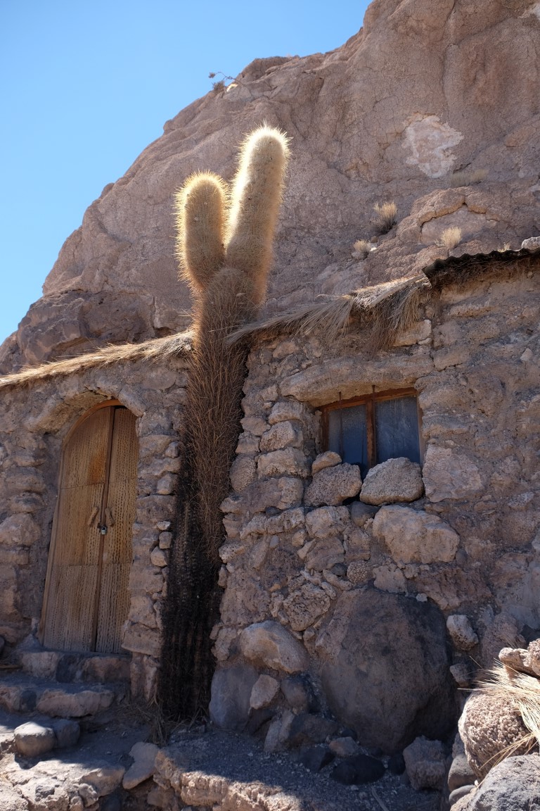
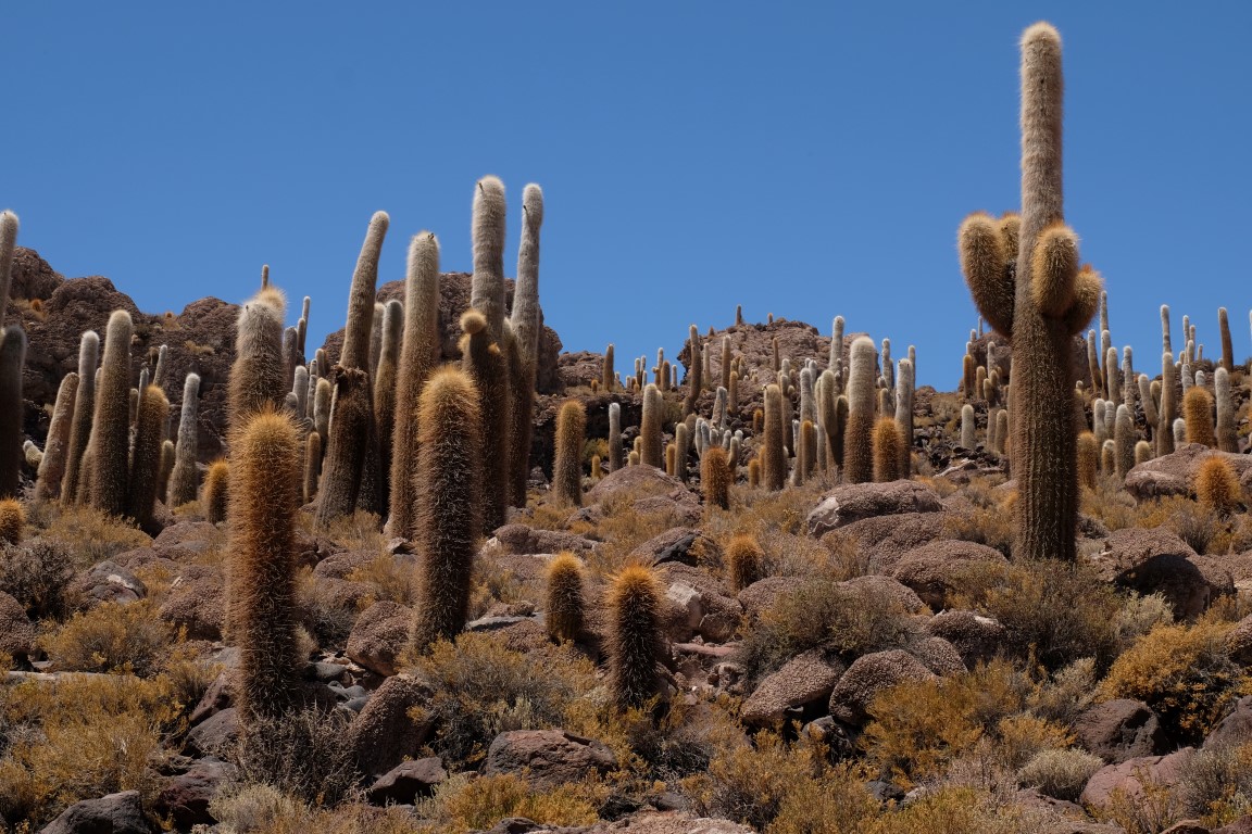
The first thing you can see at the beginning to your right is this cactus growing between two little stone buildings. Funny.
View to one side.

Zoom in on a cactus.
Saw this viscacha eating something.

And here comes my second video, the viscacha filmed eating its lunch. A bit boring maybe, although I had fun making it and special message to Helene, one of my best friend and biggest reader: I am sure Raphael will like it!! A new word to add to his vocabulary: viscacha! :-D. In case the embedded concept doesn`t work, here is the link:
View of another corner of the island.
In the middle of the island is this Arco de Coral, a sort of arch through which we can pass.

View of the Salar de Uyuni from it.

View of the arch when exiting it from the other side.

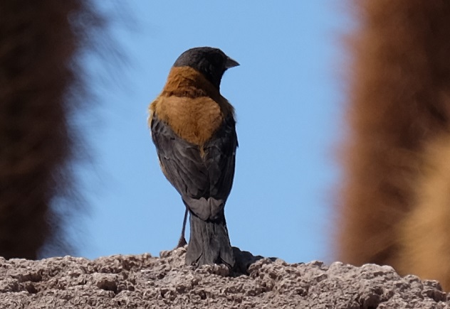
Bird on the island.
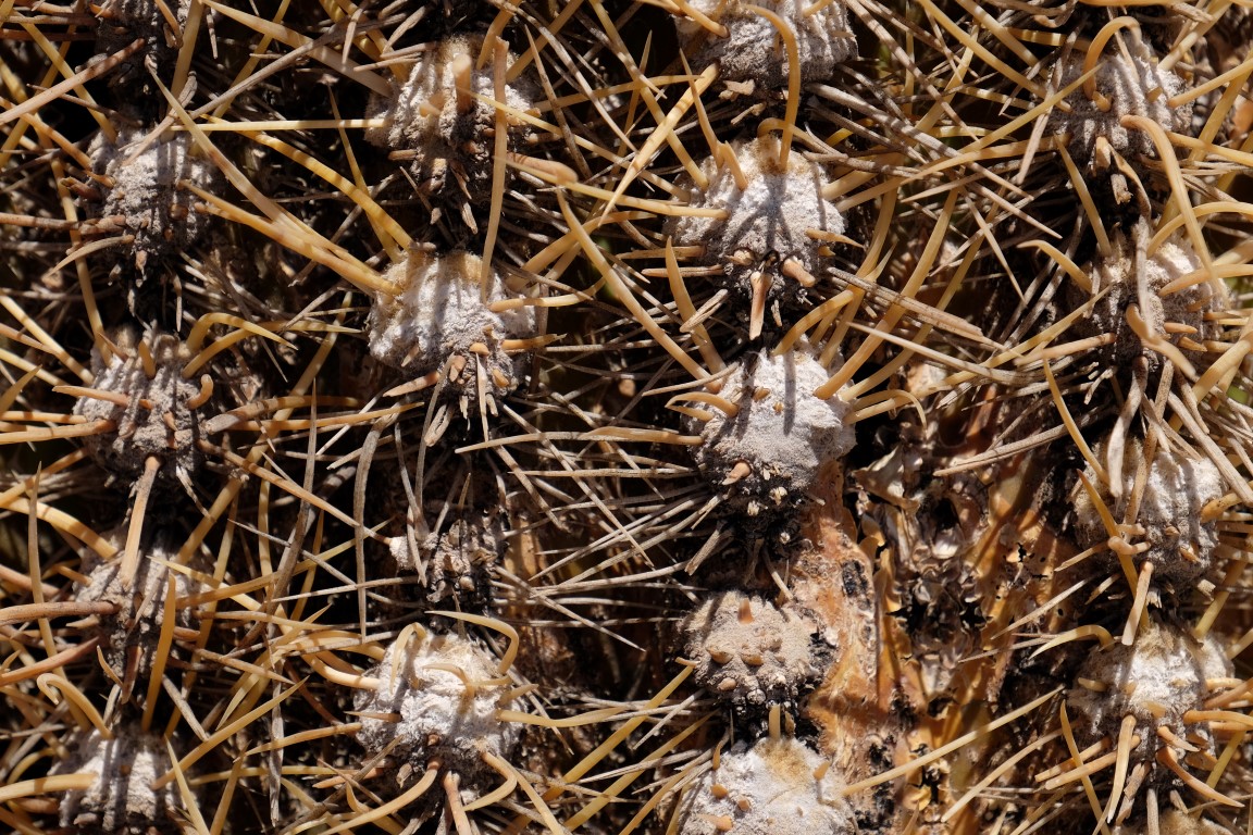
Lots of cactus on this island hey!
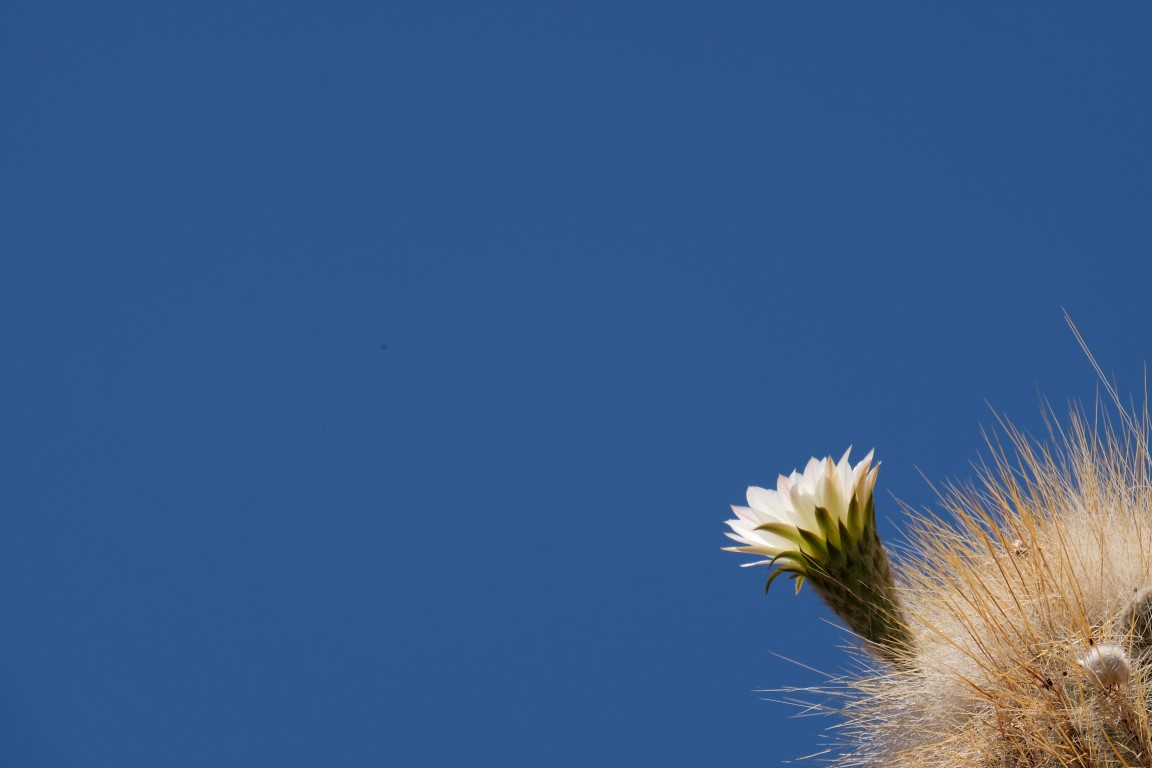
Cactus flower
After the walk, we had lunch in there, soup for starter, main with rice, potatoes, veggies and chicken and now, a crepe with chocolate for desert!!! I love that you get a desert in Bolivia!! Nice!!!

By the time we left, so many 4WD cars had arrived and many people were walking on the path going around the island. We were so glad we had arrived before and had had the island just for ourselves!
When we left after lunch, it was interesting to see how the sun light made things in a distance look like they were floating!

We stopped at this very small island located in the Bahia Mala Mala (a bay basically) around which we walked.

Walking around
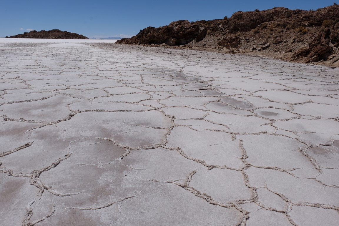
Salt crust from close
Intihuasi seen from far

Our car on the Salar. Let`s continue!

We got out of the Salar de Uyuni (already! snif!) and off to the Cuevas de las Galaxias.
The Cuevas de las Galaxias is located on the Isla de Lliphi. Once upon a time, on the 22nd August 2003, two men from the village of Aguaquiza located 4 km away came to this little island and discovered this cave. It was Pelagio, 50 years old and his friend Nemosio, 42 years old. Under the protection of the godness Pachamama, they worked on the cave to make it visitable and add it to the list of tourist stops. A few months later, it opened for tourism. Million of years ago, this cave was created by an eruption of the Minchin volcano under the water. We got a briefing in Spanish from a woman introducing us about this cave speaking really slowly, like if she was telling a fairy tale, which was very cool and then we went in. It was absolutely mind-blowing, so fragile and so delicate and so beautiful. She had told us that it was like corals and anemones under the sea but dried out. So pretty!

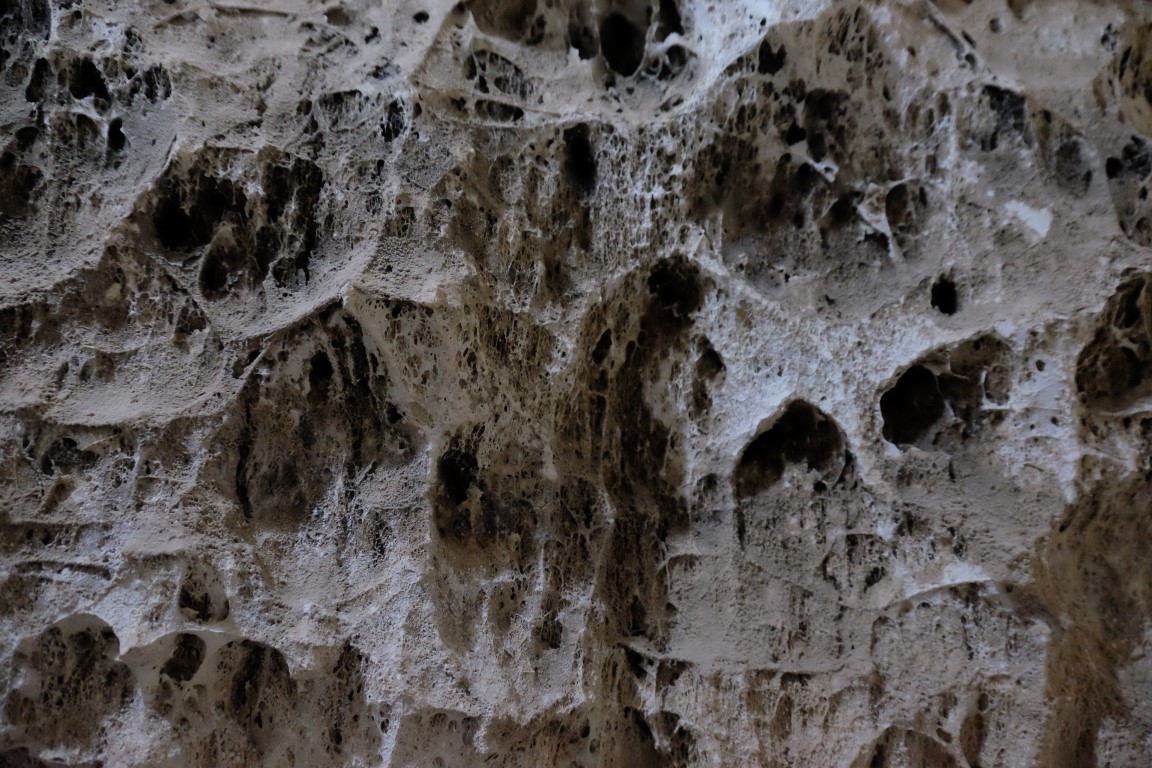
A picture of the cave`s ceiling
She also showed us the quinoa plant. Funny, I have eaten quinoa so many times but I have no idea how it grows or looks as a plant. So here it is, a dried out branch of it.
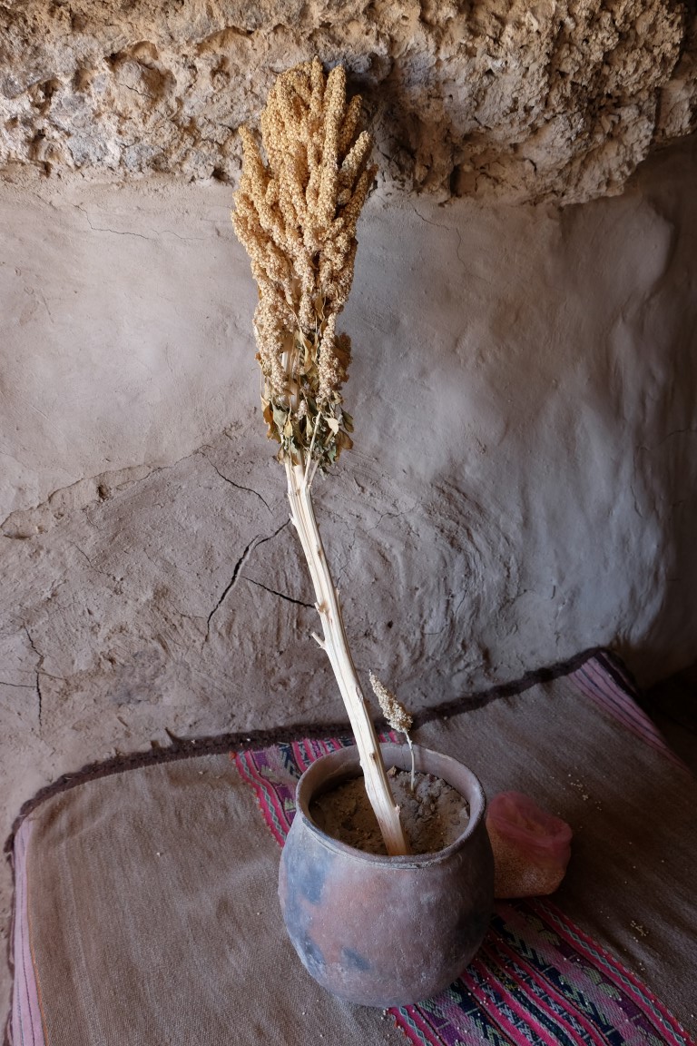
Close-up.

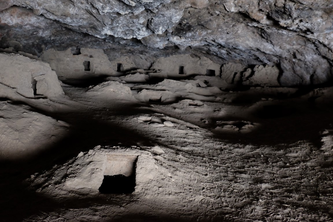
On that island was also the cementario of los chullpas.
View from the top of this island.

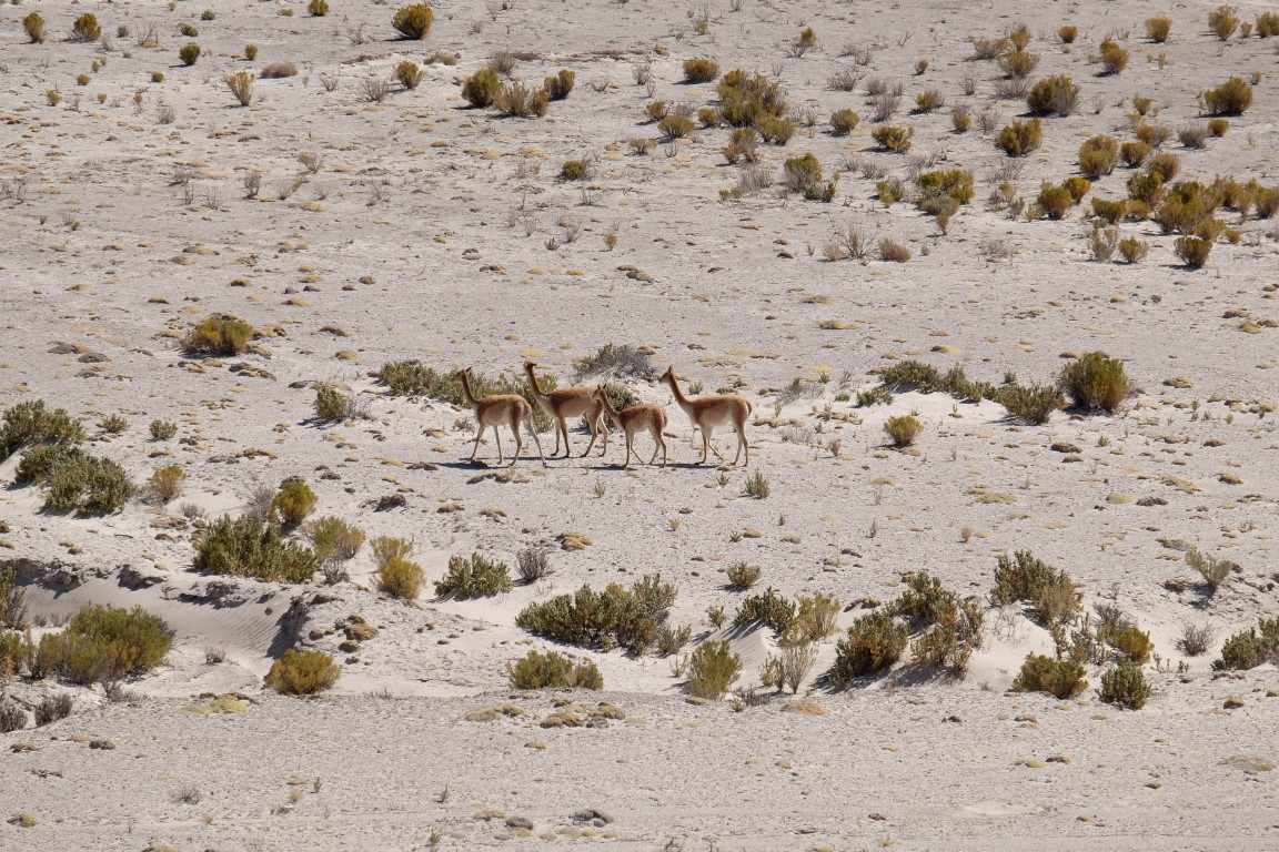
Some vicunas.
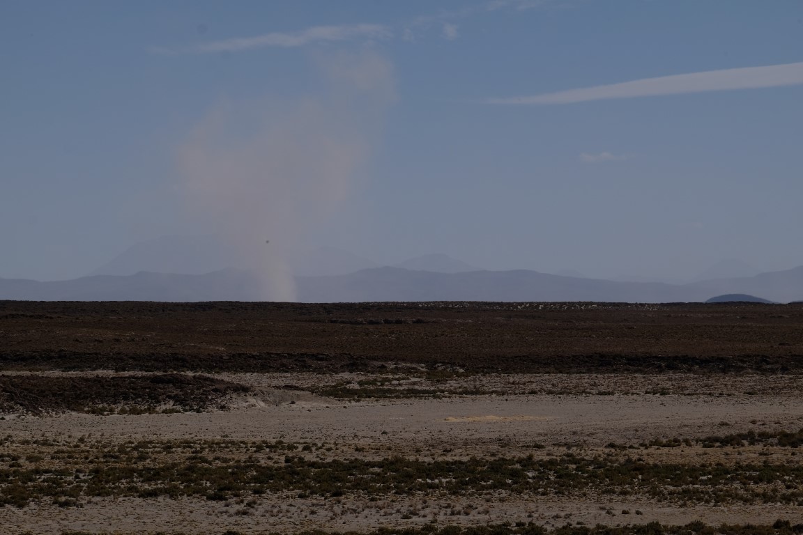
A tornado in the distance.
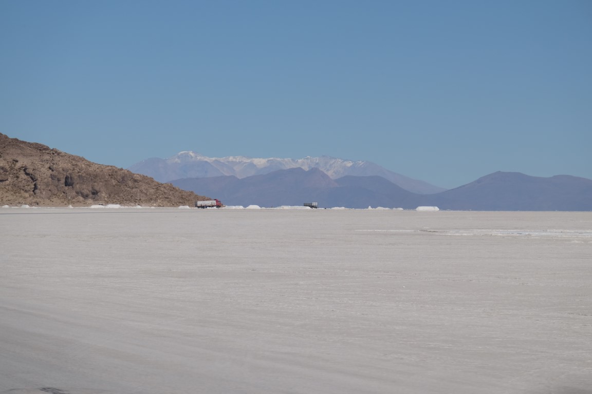
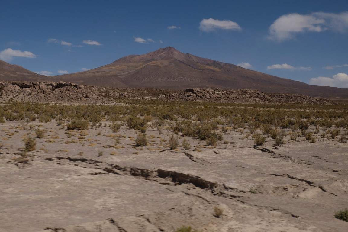
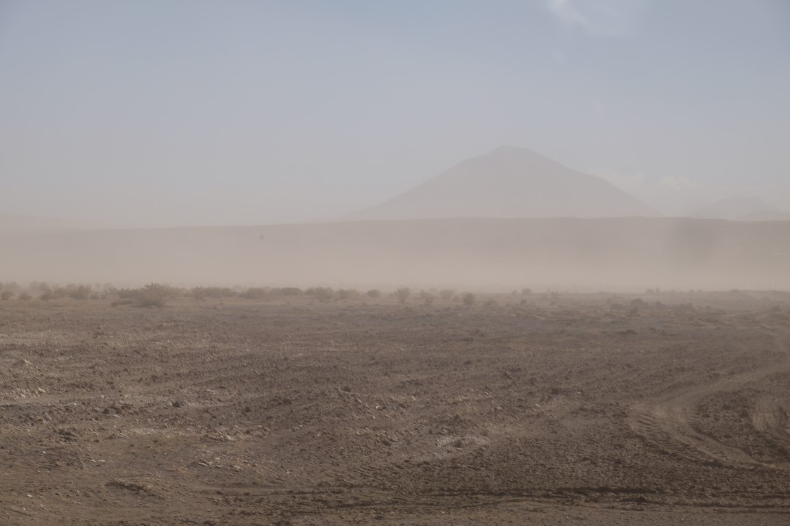
We got into the car again and headed now to San Pedro de Quemez. It was really windy and dusty.

Dusty landscape.
We got to San Pedro de Quemez. Antonio explained to us that the president Evo Morales preferred to finance the installation of synthetic grass on football grounds in villages so people could play better instead of investing in the development of roads. Interesting..

View of San Pedro de Quemez from the hotel.
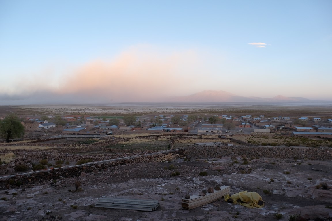
There was this impressive cloud getting pinkish at sunset.

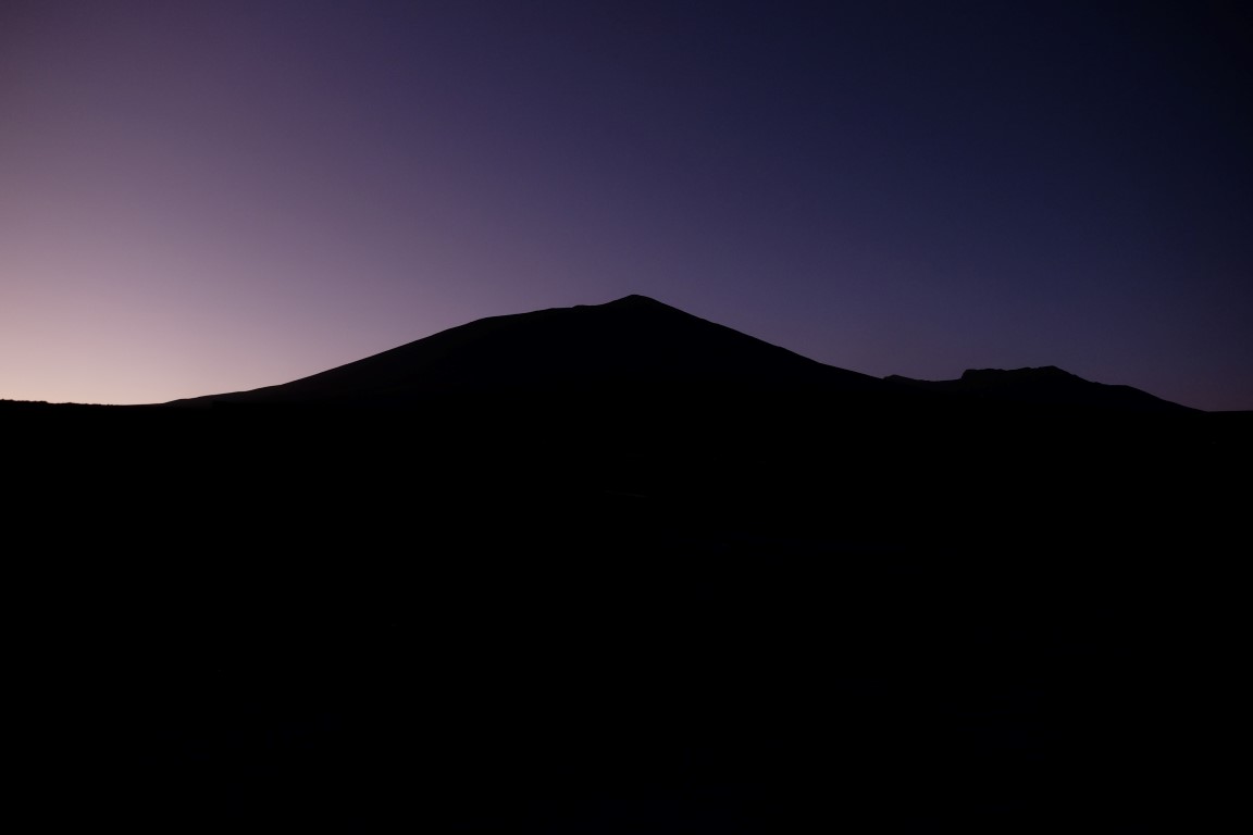
Twilight over the hill, ending the day with similar colours in the sky of the way I had started it.
No internet in the Salar so preparing blog articles about Arequipa and the Colca Canyon in notepad and by selecting photos, that evening at the light of a candle! When modern and ancient world mix. Sweet! 🙂

Next day, off to Ojos de Perdiz through a few lagunas on the way!
